Tuesday, July 25, 2006

Guess what business?

I rode past this on my scooter today. Yes, the mailbox of the West Richland golf course. I've lived in West Richland since 1985 and somehow this was the first time I've ever noticed it.

Monday, July 24, 2006

What more can I say

Two things invaded my little world this weekend. The heat. And the now 4 day long compost fire 1/2 mile from us on the site of an old goat farm. How convenient that they started the burn on our hottest days when we'd be running the air conditioning full blast. Everyone's homes are filled with the acrid smell. Our outdoor thermometer is in the shade! We had 112F/44.4C for quite a while yesteday afternoon.

Friday, July 21, 2006

Wild WIld West

So in your town can you tie up your horse while you go into city hall and pay your utility bill?

Thursday, July 20, 2006

View to the North

Think you are looking at river bottom? No you are looking at lake bottom during the massive Glacial Lake Missoula flood around 12,000 years ago. Now what you can see is the Yakima River (it is where the pale sage coloured Russian Olive trees are in the middle of the darker green) and the Columbia River (located between the field drops off and the base of the bluffs in the background). The pale bluffs on the far left are 6.5 hours away by kayak if you stop for lunch.

Wednesday, July 19, 2006

The View from the Edge of my World

Just a reminder that you are not going to see an exotic locale at the West Richland Daily Photo Blog. Places like my two favorite cities Paris or Seattle are easy. Always something going on, lots of photo ops, lots of people to take pictures of. I'm here to show you something different. I hope that other small communities in the middle of no-where will show us their towns too.

My small neighborhood is 1 long block wide and 4 blocks tall. This is the view looking towards the northwest. The hill is Flat Top. In the rare winters that we have snow there is some dynamite sledding on the north face. There is a very nice shady park at the bottom of the NE flank of the hill. West Richland puts on a great summer concert series in the park. In the summer the deciduious trees hide the homes in the neigborhood below. The Stonehenge looking structure at the top of Flat Top is an long unfinshed non-denominational worship building. It's hiding an equally "lovely" water tower.

Tuesday, July 18, 2006

Welcome to a small city photo blog!

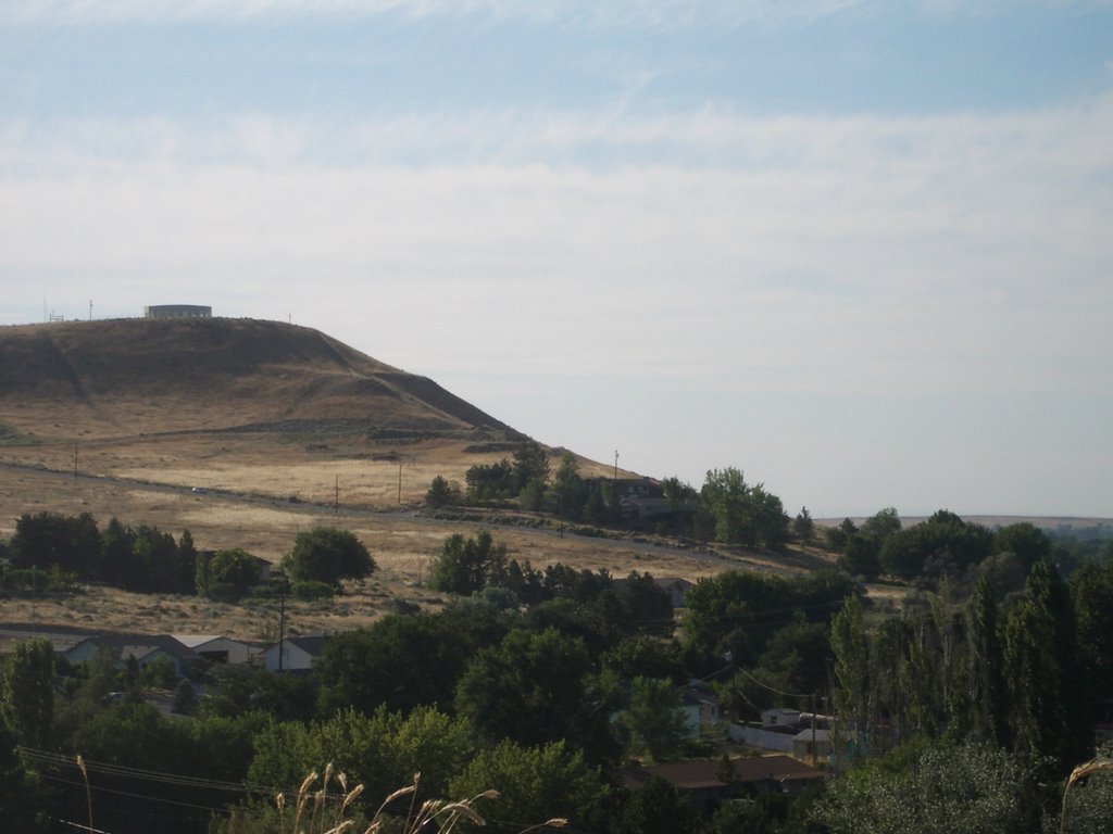
Welcome to West Richland WA, USA. We are located about 3.5 hours south and east of Seattle Washington in the 
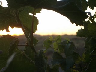
Red Mountain Appellation. When I think of West Richland, I think of the vineyards, orchards and the soft fruit that is grown here. 
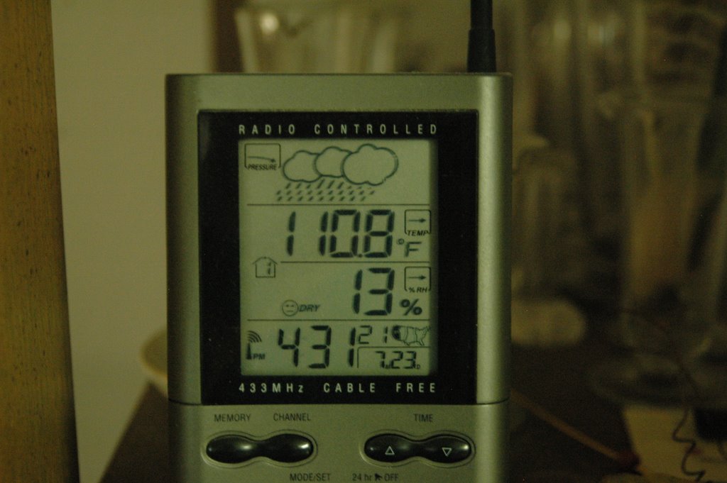
We have plenty of hot summer days in the high 90's and low 100's F, and very mild winters. Our population has grown in the past 10 years from 2400 to over 10,000 now. With that growth has come our very own very nice post office, a Subway restaurant (our only fast food), a few sit down restaurants, an upscale grocery store, a tavern, quite a few churches, an 18 hole golf course and a couple of gas stations (list not inclusive). I know it doesn't sound like much, but it's home!! If you cross the Yakima River to the east, you drive into Richland. East of that is the Columbia River. We have two grade schools, one middle school and the high school kids go to school in Richland at Hanford High School.

The first people in West Richland were the Chemnapum, Chinese at the turn of the century, and the first farmers in 1905

I carry one of my cameras with me nearly every day and hope to be posting daily. Enjoy!